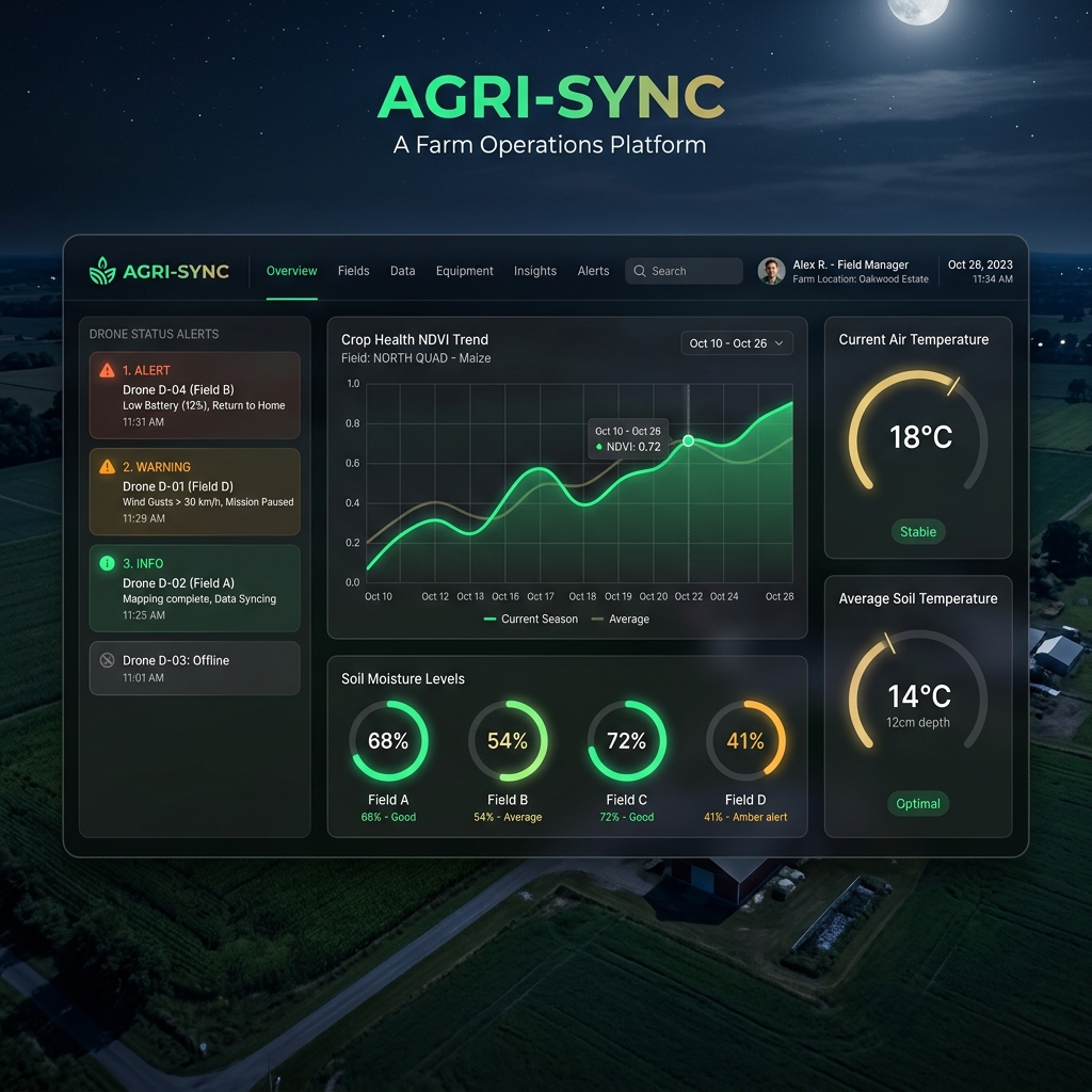
Artificial Intelligence & ML
We train specialized deep learning models on multi-spectral imagery datasets. Our models isolate crop anomalies from surrounding soil noise and shadows with extreme precision.
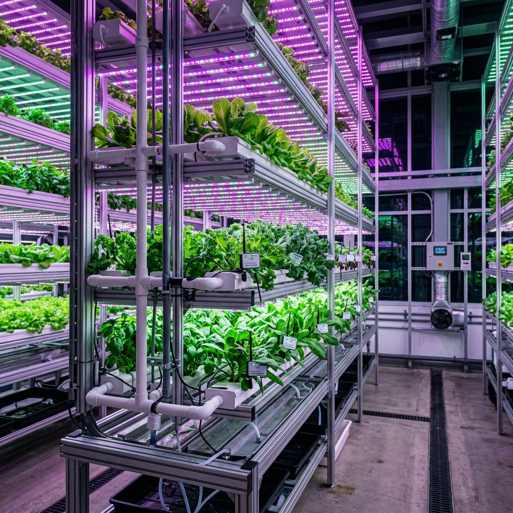
Computer Vision
Using semantic segmentation architectures (built on U-Net and SegNet pipelines), our engine reviews leaves down to the pixel level, tracking early fungal blight lesions and rust spots.
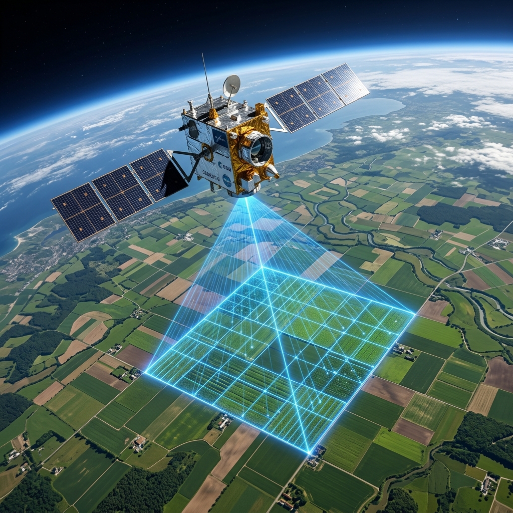
Satellite Analytics
We ingest Sentinel-2 and Landsat multispectral bands. By tracking red-edge and near-infrared reflectance index, IPS CeresAI estimates chlorophyll density and field stress maps on a weekly cycle.
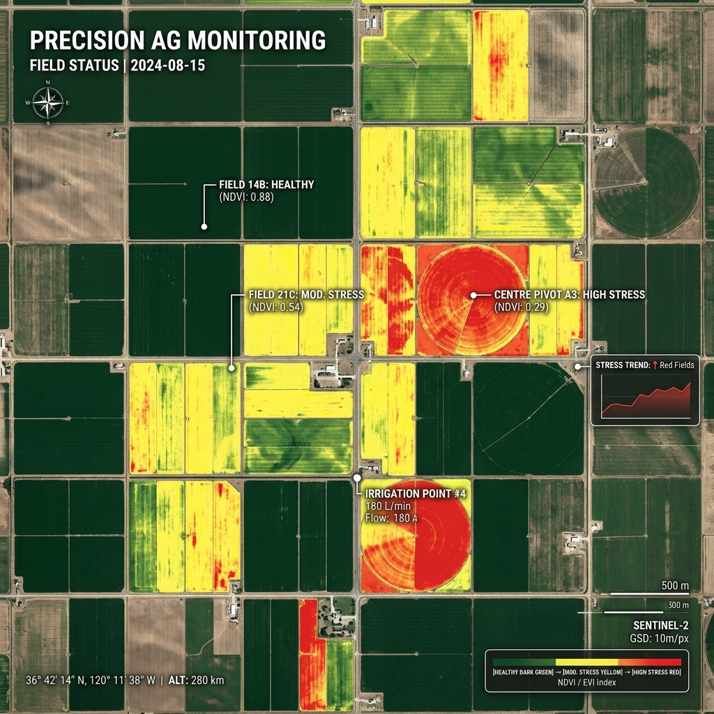
Geospatial Intelligence
All measurements are mapped on a standardized EPSG coordinate plane. PostGIS-enabled database servers perform rapid geometry overlaps to coordinate yield histories with current plots.
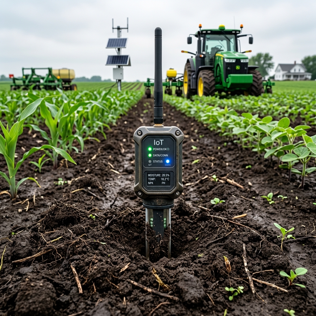
Predictive Analytics
Time-series regression models run crop development curves. Ingesting cumulative daily temperature values, we project growth intervals and predict final yield weights within 6% deviation.
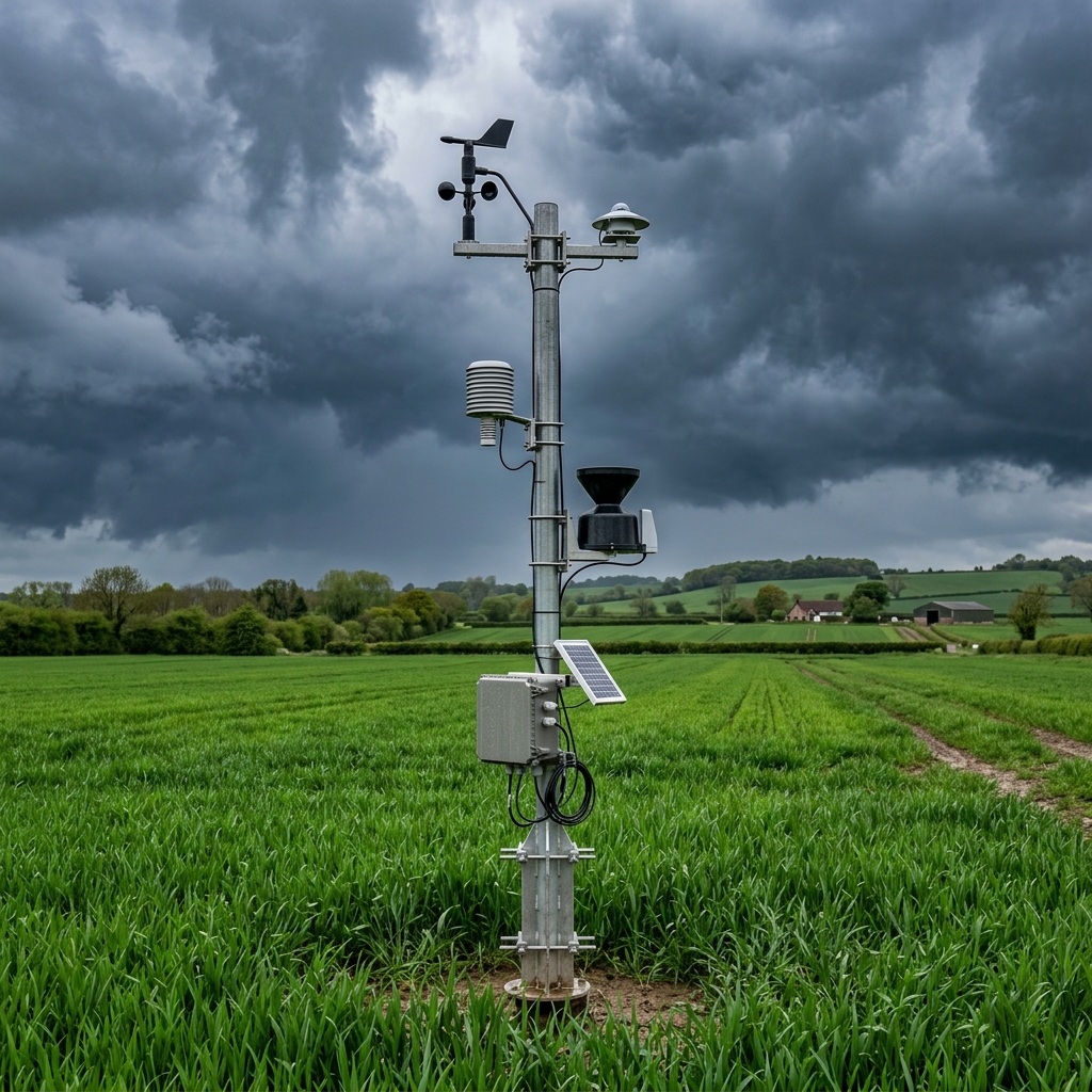
Cloud & Data Infrastructure
Our serverless API endpoints scale dynamically based on request load. Data streams through Kafka queues into analytical storage pipelines, securing immediate response times.
Technical Stack Specifications
| Layer | Technologies Utilized | Performance Target |
|---|---|---|
| Data Ingestion | Apache Kafka, AWS Kinesis, gRPC Gateway | < 200ms ingestion latency |
| Spatial Databases | PostgreSQL, PostGIS, AWS Aurora Serverless | Index execution < 50ms |
| AI Model Inference | TensorRT, ONNX Runtime, AWS SageMaker | Leaf image classification < 85ms |
| Drone Stitching | GDAL, OpenDroneMap core containers | 100-hectare orthomosaic < 4 hours |