Sustainability Commitments
Our technologies align precision mapping with long-term ecological stewardship.
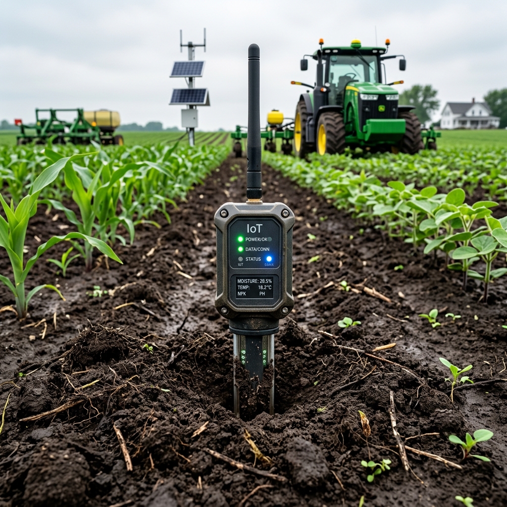
Targeted Input Reduction
By mapping spatial health variance down to sub-meter resolution, IPS CeresAI saves cooperatives an average of 22% in fertilizer and nitrogen applications.
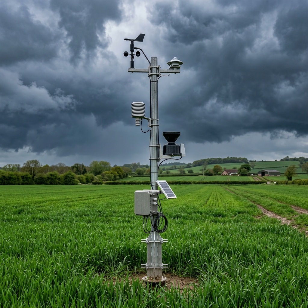
Irrigation Conservation
Combining soil probe moisture depth tracking with evapotranspiration models reduces water extraction requirements across large crop zones.
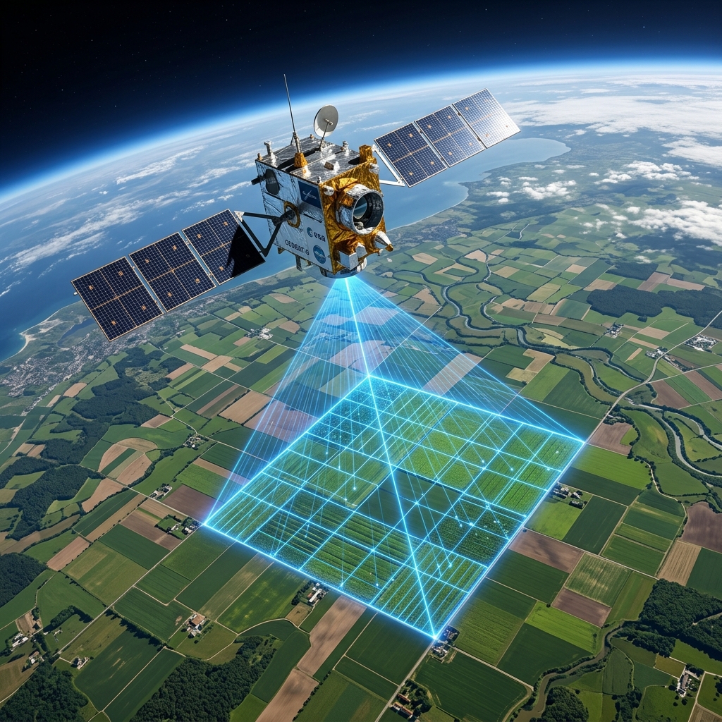
Climate Resiliency
Our algorithms track heat index thresholds, allowing farmers to select seed varieties that survive local weather stress curves.
The Core Team
A collaborative mix of agricultural experts, machine learning engineers, and data operators.
Dr. Amit Verma
CO-FOUNDER & CEO12+ years in AgriTech systems and predictive modeling. Former researcher at national institute of agronomy.
Dr. Sarah Chen
CHIEF MACHINE LEARNING ENGINEERPh.D. in Remote Sensing. Specialized in computer vision pipelines and multispectral segmentation.
Rajesh Patel
HEAD OF AGRONOMY OPERATIONSManaged drone-based spatial surveys across 50,000 hectares of diverse crop variants.
Priya Sharma
LEAD GEOSPATIAL DATA SCIENTISTExpert in Sentinel-2 spectral indices calibration and satellite temporal gap interpolation.
Vikram Singh
SENIOR IoT SYSTEMS ARCHITECTDesigned low-power cellular soil telemetry probes and sensor mesh ingestion gates.
Neha Gupta
PRINCIPAL SOFTWARE ENGINEEROptimized real-time PyTorch inference serving on AWS Cloud Run containers.
Arjun Rao
CHIEF FLIGHT COMMANDERDGCA certified drone operator with 800+ hours surveying multi-spectral crop trials.