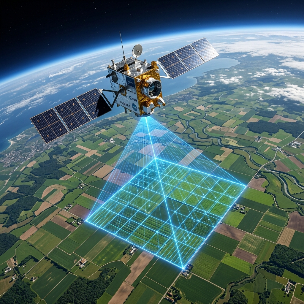
Helping agriculture become more productive, sustainable, and data-driven using proprietary computer vision, weather forecasting, and geospatial AI models.
Farmers and agribusinesses face unprecedented risks and escalating costs. Legacy farming models are struggle to cope with mounting climatic and economic shifts.
Unpredictable weather patterns, droughts, and heatwaves disrupt planting calendars and destroy crop cycles.
Sudden infestations spread unnoticed, leading to rapid devastation before traditional checks can detect them.
Over-irrigation depletes groundwater, while water scarcity threatens crop survival in semi-arid zones.
Inability to monitor individual crop stresses causes broad, sub-optimal yield returns across entire plots.
Fungal, viral, and bacterial pathogens mutate and ruin up to 40% of global food production annually.
Farming decisions are based on guesswork instead of physical parameters like satellite indices or soil telemetry.
Inefficient fertilizer, pesticide, and fuel applications inflate budgets and compress operating margins.
Excess chemical runoffs degrade organic soil structures and contaminate surrounding water basins.
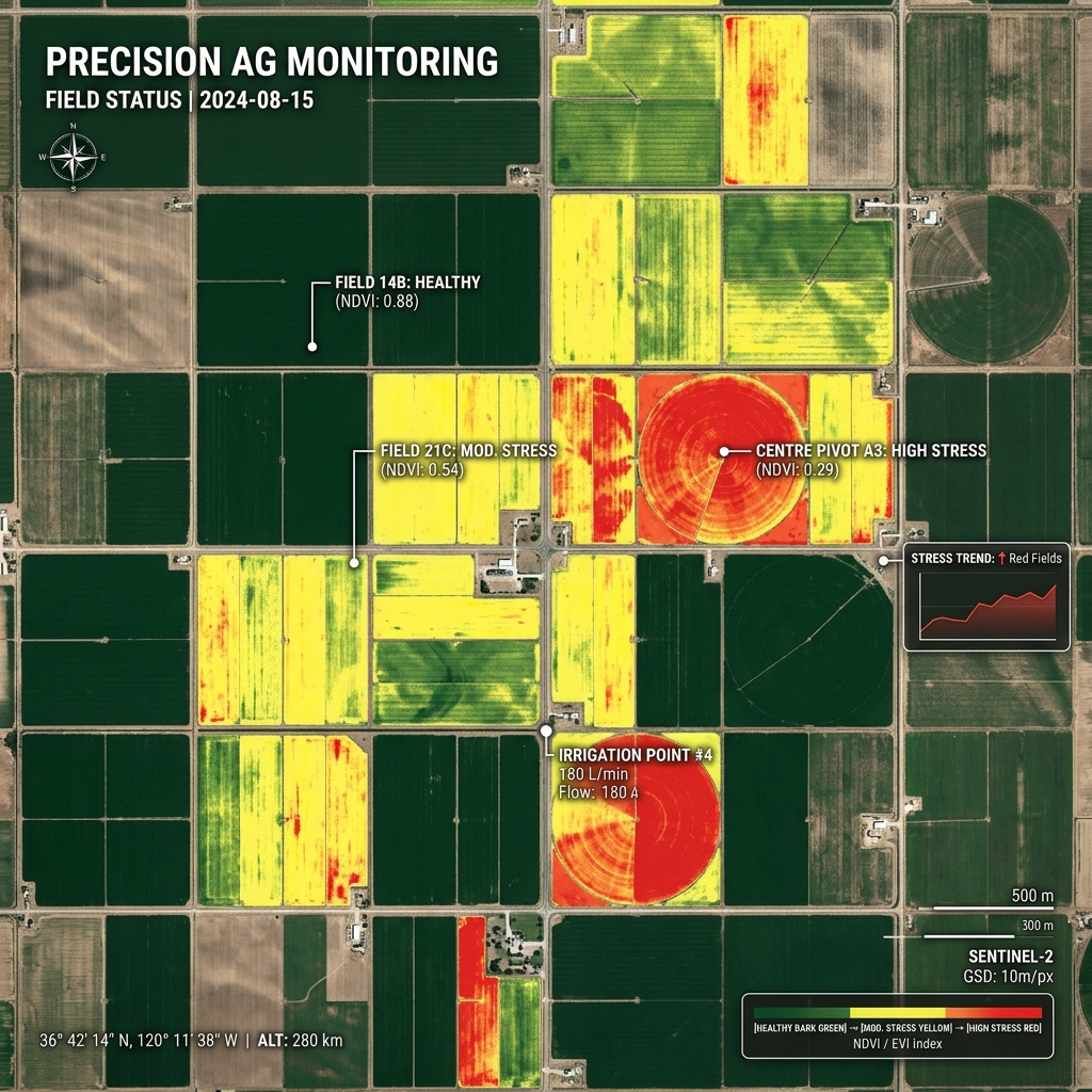
Drag the slider to see how our Computer Vision models translate raw drone and satellite imagery into actionable Crop Stress heatmaps. By capturing infrared light reflection, we compute Normalized Difference Vegetation Index (NDVI) scores down to centimeter-level resolution.
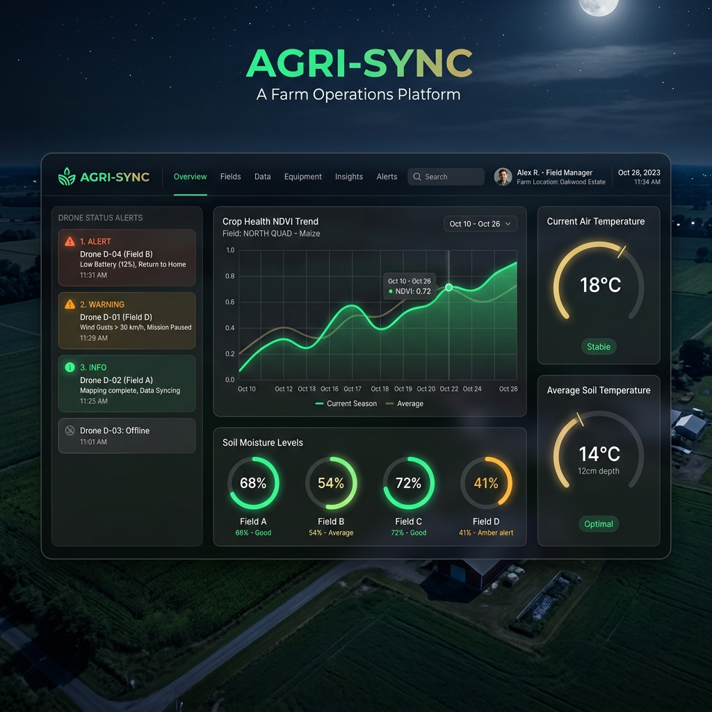
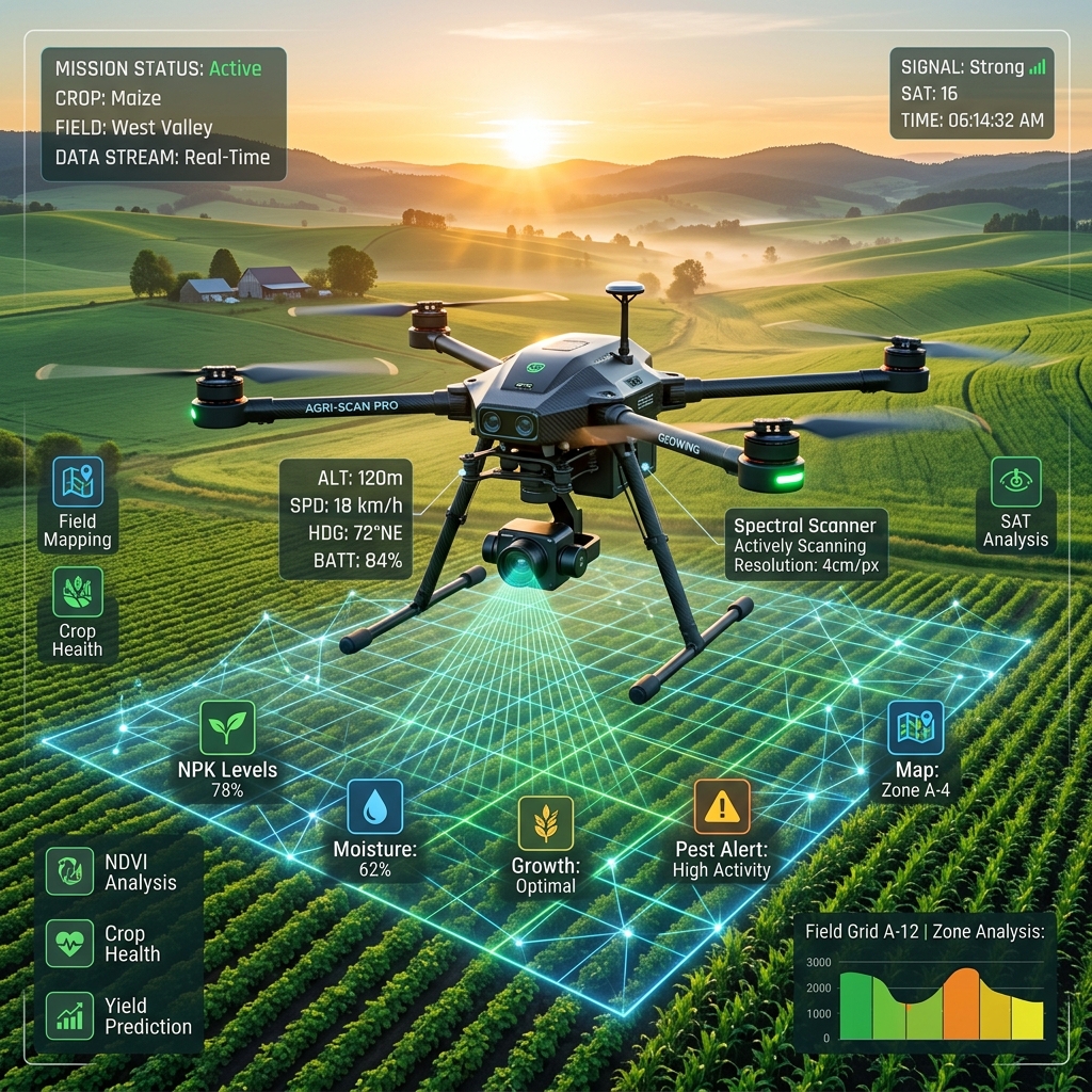
IPS CeresAI combines multi-spectral satellite imagery, weather micro-data, and on-field sensors with deep neural networks to offer predictive farm intelligence.
Continuous multispectral monitoring flags moisture anomalies and nutritional deficits days before physical stress shows.
Edge-enabled deep learning classification recognizes blight, rust, and leaf spots from simple drone or camera frames.
Geospatial data combines with historical weather runs to construct accurate regional yield forecast models for logistics optimization.
Proprietary soil-absorption algorithms chart localized nitrogen, phosphorus, and potassium profiles without intensive manual core drilling.
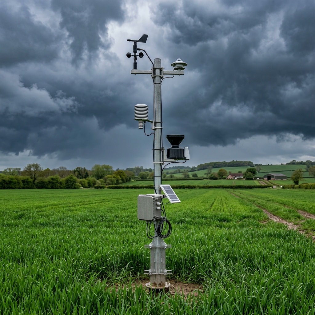
Localized hyper-microclimate predictive models estimate humidity, rainfall probability, and localized wind trends on a 500-meter grid scale.
Closed-loop models interact with farm valve hardware to dispense the exact water volume required based on dynamic evapotranspiration indexes.
We bridge the physical farm and high-performance cloud intelligence through a robust 3-stage computational loop.
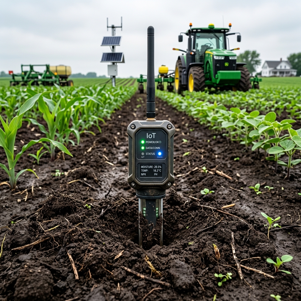
We pool remote sensing data from satellites, multi-spectral drone cameras, ground IoT moisture probes, weather reports, and localized historical field registers.
Data runs through deep learning pipelines, convolutional networks for plant stress mapping, geospatial models, and computer vision segmentation models.
Get immediate nitrogen prescriptions, localized micro-weather alerts, crop stress heatmaps, yield maps, and dynamic variable rate maps.
Get quarterly whitepapers, agricultural AI model release logs, and localized precision farming research. No spam, only engineering-grade agricultural insights.